Relative Carbon Sequestration Potential
The Port Phillip and Western Port region has suitable areas for revegetation at a scale that would be significant for carbon sequestration purposes (including consideration of current land use, original vegetation type, rainfall, soil type and current vegetation quality). It generally excludes areas of public land, intensive agriculture and urban areas.
For revegetation and carbon plantings, the objective is to achieve benefits for biodiversity and land management whilst also sequestering and storing carbon in the landscape. Priorities in the Port Phillip and Western Port region include:
- focus major revegetation programs on particular areas that offer opportunities for major new 'Nature Links' to improve habitat extent, connectivity and resilience,
- focus carbon planting programs on areas with high carbon sequestration potential that also contribute to the development of major new 'Nature Links' and avoid undesirable outcomes, and
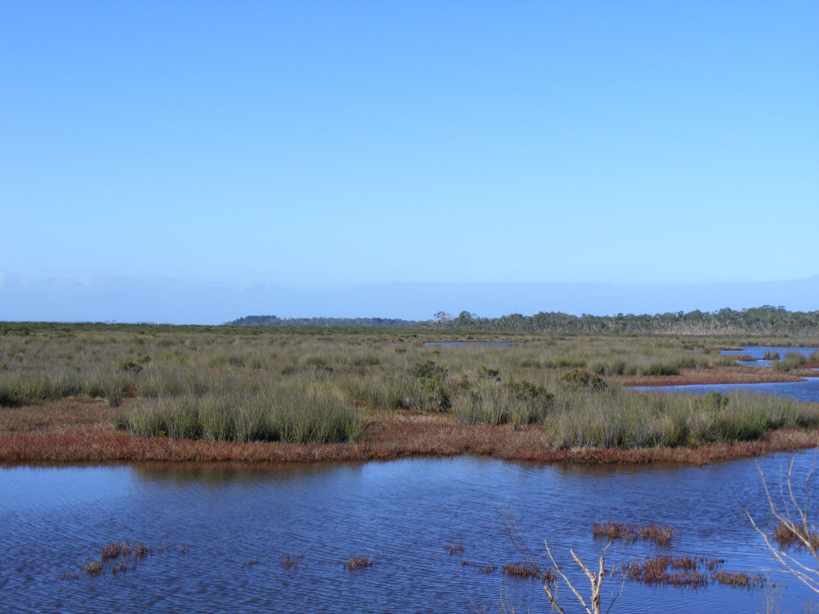
- protect existing significant stores of carbon held in coastal/marine soils and vegetation ('blue carbon') including saltmarsh, mangrove and seagrass areas along the shorelines of Port Phillip Bay and Western Port Bay.
To view specific points of interest, please click on the map tab which displays an interactive map of carbon sequestration potential that is sensitive to climate change.
Sources: