Four-and-a-half million residents live in the Central Coastal Region of Port Phillip and Western Port Bays.
They make 70 million visits to Port Phillip Bay each year. The central coastal region’s population is projected to grow to 6.3 million by 2031 and to almost eight million by 2051. Population pressures and associated demands for coastal space and services will be compounded by climate change effects - rising sea levels and storm surge risks, reduced rainfall and higher temperatures.
Port Phillip and Western Port Bays' environments include:
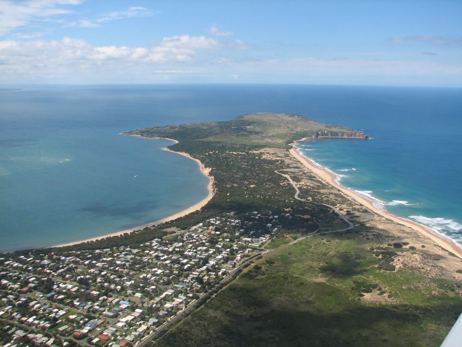
- Bay and ocean beaches.
- Sand, rock, mangrove and cliff.
- Public land, private land and different land uses.
- Places of significant environmental value such as Ramsar sites.
- Places of significant social value such as recreational beaches.
Coastal environments are the interface between marine and terrestrial ecosystems and are vital to their productivity, health and resilience. They are highly valued socially, economically and ecologically.
The region's coastline has diverse bio-physical characteristics that provide benefits in the form of:
- recreational use,
- shoreline stabilisation,
- buffering for and adapting to coastal hazards and climate change,
- habitat protection and biodiversity, and
- landscape character and amenity.
This region contains three internationally listed Ramsar wetlands including:
1. Western Port covering 59,297 hectares.
2. Edithvale - Seaford Wetlands covering 261 hectares.
3. Port Phillip Bay, specifically Western Shoreline and Bellarine Peninsula, covering 22,645 hectares.
Climate Change on the Coasts
Climate change is expected to expose this region's coasts to:
- Sea level rise.
- More frequent, higher storm surges.
- Lower and more erratic rainfalls.
- Higher hot-day and long-term average temperatures.
- Increased fire-weather frequency and intensity.
These pressures increase the possibilities of:
- Accelerated coastal erosion.
- Erosion and wildfire risks where housing and public facilities abut coastal reserves.
- Heightened conflict between human demands for coastal protections such as seawalls and space for natural environments.
Coastal wetlands are among the most valuable, internationally significant natural assets in this region and highly vulnerable to climate change. Declining freshwater inputs and rising seawater intrusions may degrade and ultimately change coastal wetlands by reducing their size, converting them to dry land or transforming them from (for example) saltmarsh to mangrove swamp.
Port Phillip Bay
Climate change is expected to reduce river flows into Port Phillip Bay but increase the frequency and intensity of storm flows. These will increase pollution risks when long periods of low runoff are interrupted by periods of concentrated pollutant loads.
Coastal Ramsar wetlands on Port Phillip Bay’s western shore will be vulnerable to sea-level rise. Global sea levels are projected to rise between 0.18 to 0.59m by 2095, with a possible additional contribution from ice sheet melts of 0.1 to 0.2m. Larger sea level rise from more rapid melting of polar ice sheets is possible.
Western Port Bay
Climate change is expected to reduce overall riverine flows but increase the frequency and intensity of storms and flash floods carrying increased pollutant and sediment loads into Western Port Bay.
Coastal Ramsar wetlands and agricultural land on Western Port’s low-lying northern coast are vulnerable to sea-level rise. Global sea levels are projected to rise between 0.18 to 0.59 m by 2095, with a possible additional contribution from ice sheet melts of 0.1 to 0.2 m. Larger contributions to global sea level rise from more rapid melting of polar ice sheets are possible.
Climate change risks to Western Port Bay centre on future coastal inundation and rising sea temperatures. Inundation of Western Port’s northern coast will make efforts to improve water quality through coastal erosion control more risky and expensive.
Map: Coasts sensitive to climate change
Description:
The static map below depicts the sections of coasts assigned a ‘very high’ or ‘catastrophic’ rating for their likely sensitivity to climate change (changes in annual rainfall and/or changes to maximum temperatures over the spring and summer period) under the Representative Concentration Pathway (RCP) 4.5 scenario. To view specific points of interest, please click on the map tab which displays an interactive map of coasts sensitive to climate change.
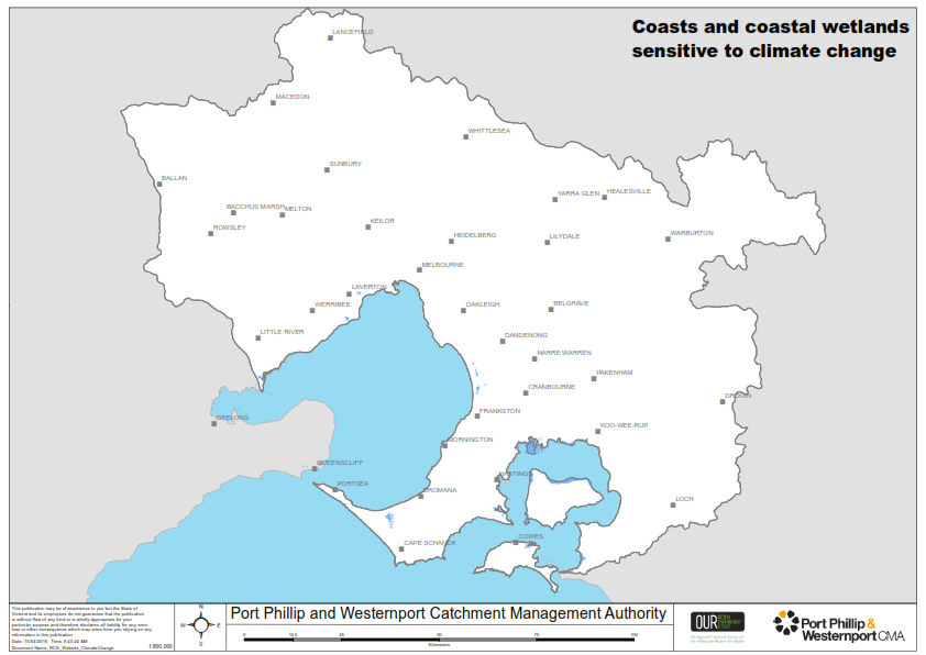
RCP 4.5 is considered to be a moderate scenario of future carbon emissions. Under the RCP 4.5 scenario, it is predicted that annual average rainfall could reduce by 16-34mm below the 1986-2005 average and maximum summer temperature could increase by 2-2.9 degrees above the 1986-2005 average. However, actual future changes could be smaller or larger depending on the actual effects of rising atmospheric carbon dioxide and the success of global carbon dioxide mitigation.
Sources:
Climate change pressures on the coast information was derived from:
Climate change | Port Phillip & Western Port Regional Catchment Strategy (rcs.vic.gov.au)
Please visit the Port Phillip & Westernport Regional Catchment Strategy for more information about coasts in this region.